Lead institution:
Great Lakes Observing System – United States of America (USA)

The Great Lakes are an invaluable national and international natural resource, upon which millions rely on for drinking water, employment, and recreation.
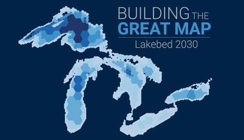
Despite this, one of the most fundamental datasets – a complete bathymetric lakebed map – has not been coherently and deliberately collected. Our ocean-shot project will create and deliver a high-resolution digital representation of the Great Lakes lakebed for the benefit of everyone, from scientists to decision-makers to the general public. This project will leverage technical innovations with emerging methodologies and can serve as a testbed of technologies and data processing techniques for the global Seabed 2030 effort.
Start Date: 09/01/2021
End Date: 31/12/2030
Contact point: Rebecca Pearson (becky@glos.org)